You are here: Home > Things to See & Do > History & Heritage Sites >
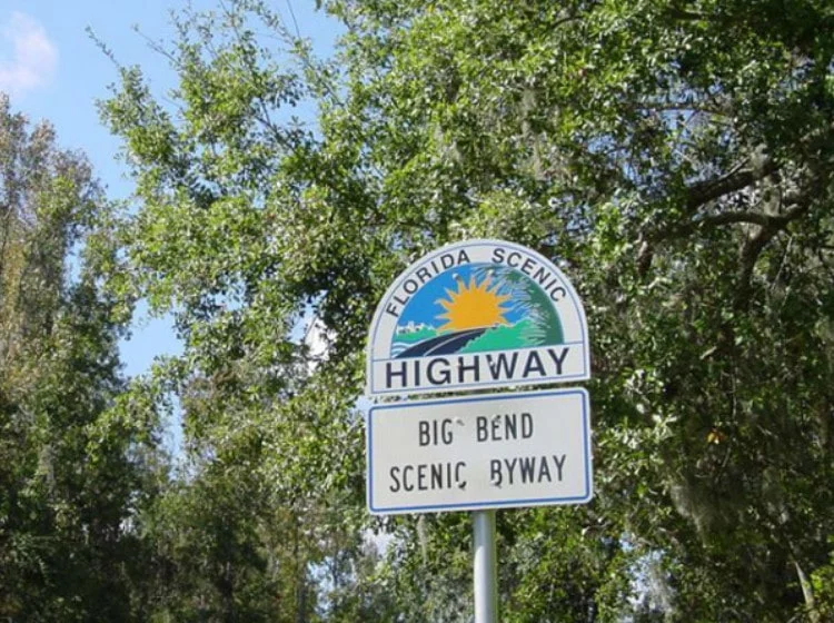
Big Bend Scenic Byway

The Big Bend Scenic Byway is a 220-mile corridor covers both forest and coastal resources of Leon, Franklin and Wakulla Counties. It is one of 150 highways across the U.S. to carry such a designation. There are 300 species of birds and more than 2,500 plant species that live in the areas adjacent to the byway. Click here to watch a slideshow of photographs from the Big Bend Scenic Byway. Along each of these scenic highways, you will encounter dozens of parks, wildlife areas, museums and recreational opportunities.
Two sections of the Big Bend Scenic Byway wind through Franklin County – the Coastal Trail (U.S. Highway 98 along the coast) and the Forest Trail (State Road 65). Length: 23.2 miles. Begin: Franklin County at intersection of Coastal Highway (US 98) and Sopchoppy Highway (US 319). End: Franklin County at intersection of Coastal Highway (US 98) and SR 65. Length: 25.6 miles, including the spur route to St. George Island State Park. Begin: Franklin County at intersection of Coastal Highway (US 98) and SR 65. End: Franklin County at west end of Market Street in Apalachicola. Length: 25.3 miles. Begin: Franklin County at the intersection of Coastal Highway (US 98) and SR 65. End: SR 65 at the Franklin/Liberty County line at the town of Sumatra
Avenue E
Apalachicola, Florida 32320


